software Solutions

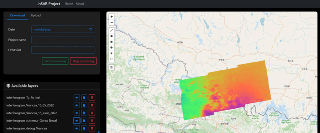
EO-SAR portal
automatically determine vertical displacement map using Copernicus SAR image data sets for monitoring the aftermath of earthquakes, landslides and cave-ins
Multi Domain Situational Awareness
portal aggregator for remote sensor management of a wide range of sensors: GNSS SiS/Interference, RF spectrum, SST, centralized telemetry of distributed assets (wind turbines, solar plants)


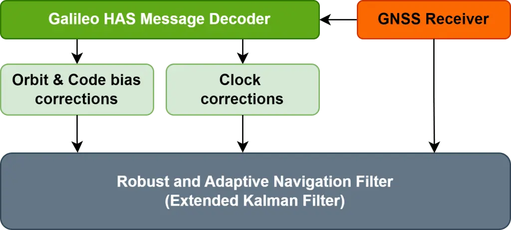
GnXact
Precise Point Positioning (PPP)
exploiting the Galileo High Accuracy Service
(HAS) on streamlined GNSS receivers
AGORA
a software platform leveraging availability of GNSS positioning to improve security and streamline the organizing of large public events like multi-stage music festivals

Let’s work together!
We are only one 📩 away!
